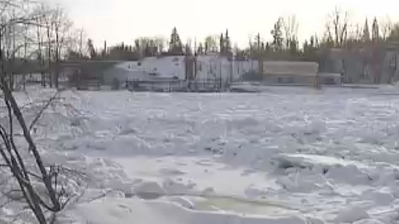
Floodplain mapping underway locally

Nov 30, 2022 | 1:20 PM

PRINCE GEORGE – It seems forever ago that a massive ice jam on the Nechako River in 2007. That river and the Fraser River are prone to annual flooding. It’s part of the reason the Fraser Basin Council is conducting floodplain mapping.

The intent of the project is to collect information for use by all kinds of organizations.

“The maps can be used in a variety of ways,” explains Steve Litke with the Fraser Basin Council. “Most commonly, they’ll be used to inform land use, planning and development, regular actions. They’ll also be quite informative for emergency planning and emergency response by having a better sense of different flood levels under different scenarios and which populations and buildings and infrastructure and assets might be at risk or exposed to those flood hazards.”

The City of Prince George is also participating, having been approached by the Fraser Basin Council in the fall. The ice jam in 2007 lead to a comprehensive study of the watersheds in Prince George and identified both 100-year and two hundred-year flood plains within the city. Tanya Spooner says the Council is open to using that information.

“So floodplain mapping takes into account all sort of I believe they call it clear water hazards,” says Spooner, Manager of Emergency Programs for the City. “So that’s ice jams and for sure flooding. So they’ll take that historical doubt into consideration as well as things that we’ve learned through climate change and hopefully help us prepare for the eventuality of additional climate change in the future.”

The Nechako River is a controlled river, meaning the flow is controlled. And that is something the Council will have to take into consideration.

“That is less common in B.C.,” says Litke. “There are other watercourses where dams and reservoirs and regulation of flows is a consideration. And that’s certainly going to be an important piece to look at in the flood hazards on the Nechako. There are other parts of the province where hydro reservoirs operate that way. And it is sort of one of many factors that inform or influence the hazard.”

The study will also look at climate change on the watersheds, something the City will be very interested in.

“So the province is currently working towards developing or bringing forward to the House new emergency programs in the spring of this year,” says Spooner. “We’ve heard a little bit about it. We’ve seen some discussion papers. One of the things that we know for sure is it will ask us to include climate change in all of our emergency plans done.”

The Council will be conducting the research over the next couple of years.

Click here to report an error or typo in this article