Snow Warning

Update: Winter storm warning ends for Prince George

Oct 25, 2020 | 12:26 PM

PRINCE GEORGE – Update: Environment Canada has lifted its winter storm warning for Prince George as of 10:35 this morning.

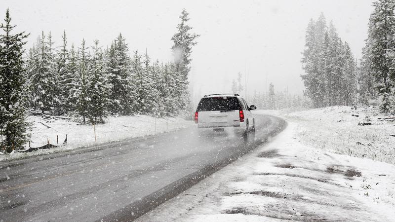
Earlier: The winter storm warning continues for Prince George.

Hazardous winter conditions are expected.

Environment Canada says snowfall amounts from 15 to 25 cm are expected through today.

A frontal system, moving across the northern Gulf of Alaska is spreading significant snowfall amounts from central BC to the southern Yukon. The snow is expected to ease for most areas this afternoon as the front moves eastward.

Another frontal system is expected to bring more snow to the Yellowhead region tonight through Tuesday morning.

Rapidly accumulating snow could make travel difficult over some locations. Prepare for quickly changing and deteriorating travel conditions. Visibility may be suddenly reduced at times in heavy snow.

PRINCE GEORGE – Environment Canada has issued a Winter Storm Warning for the area of Prince George.

Hazardous winter conditions are to be expected as snowfall may range from amounts of 15 to 25 centimetres today through Monday.

A frontal system, moving across the northern Gulf of Alaska will spread significant snowfall amounts from central BC to the southern Yukon. Snow will begin Sunday morning from Teslin to Dease Lake and reach Watson Lake to Prince George by early this evening. Snow will ease for most areas on Monday afternoon.

Rapidly accumulating snow could make travel difficult over some locations. Prepare for quickly changing and deteriorating travel conditions. Visibility may be suddenly reduced at times in heavy snow.

Environment Canada urges residents to continue to monitor alerts and forecasts issued by Environment Canada.

To report severe weather, send an email to BCstorm@canada.ca or tweet reports using #BCStorm.

Click here to report an error or typo in this article