Below-seasonal temperatures coming to B.C., but warmer than 2024 cold snap

Jan 17, 2025 | 11:10 AM

VANCOUVER — Below-seasonal temperatures are expected in parts of British Columbia this weekend, a year after a bitter cold snap that sent wind-chill temperatures plummeting to -20 C in Metro Vancouver and as low as -50 C in other parts of the province.

Environment Canada meteorologist Lisa Erven says the coldest air mass the south coast has seen so far this winter is settling across the region, but it won’t be nearly as extreme as the record-setting lows of January 2024.

Erven says temperatures will hit about two to five degrees below normal on the south coast and in the southwestern Interior, but it will be colder in the east.

She says the B.C. Rockies will see temperatures about five to 10 degrees below normal, with a nighttime low of -19 C in the forecast for Golden by Sunday.

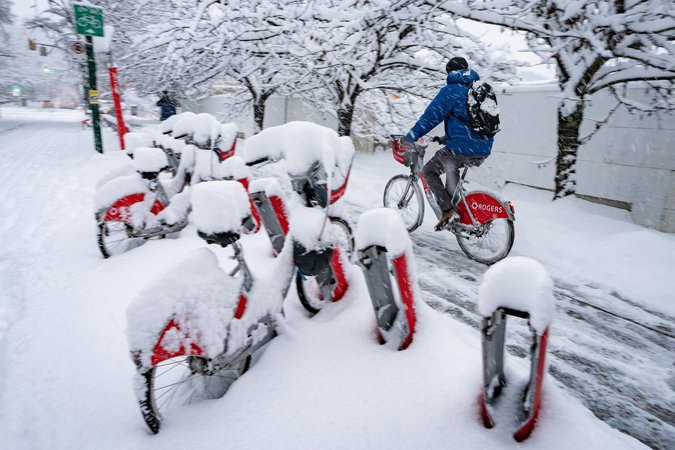
Friday also marks the one-year anniversary of Vancouver’s snowiest day in nearly three decades, and while that’s not in the short-term forecast, Erven says freezing temperatures increase the likelihood that the next storm will bring snow.

Whether that happens depends in large part on the direction the storm is coming from, Erven says, with weather systems coming down from the North Pacific and Alaska typically setting the south coast up for snowfall.

“We’re not at the point now where we can solidly say snow is on the way. It’s just more of a heightened risk that we’ll be monitoring,” she says.

The forecast for Vancouver shows daytime highs of 5 C on Sunday and 2 C on Monday, with a nighttime low of -3 C over the weekend.

In the northeast, near Fort St. John, temperatures were expected to fall to -13 C during the day on Friday, Erven says.

The cold is not unusual in the area, she says, but it comes after much warmer recent daytime highs of around 6 C.

This report by The Canadian Press was first published Jan. 17, 2025.

The Canadian Press

Click here to report an error or typo in this article