Frigid, snowy days on the way for Prince George
-
Share on Facebook
-
Share on Bluesky
-
Share on X
- Copy Link
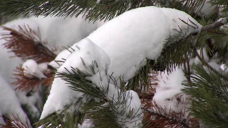
PRINCE GEORGE – Prince George and much of Northern B.C. has enjoyed a warmer than usual winter, with January being noticeably warmer than usual. While the last week has seen many days around the 0°C mark or higher, February will begin with a blast of frigid air dropping us at or below -30°C.
“We’ve got an Arctic ridge descending from the Yukon, and that’s going to bring much colder temperatures than normal to the central interior. (…) We’re heading into a fairly major shift in the weather pattern with this Arctic ridge descending, and that cold air truly penetrating the province of B.C. this time and spreading those -30°s into the central interior,” explained Warning Preparedness Meteorologist with Environment and Climate Change Canada Lisa Erven.
Erven expects this to last around a week, with the temperature change occurring on the night of January 31. Coinciding with the temperature drop is a high chance of large amounts of snowfall, although Erven says this is actually coming from a different system unrelated to the system coming from the Arctic.
