Snow pack

Recent snow, humidity, could mean good things for provincial snowpack

Mar 13, 2025 | 5:30 PM

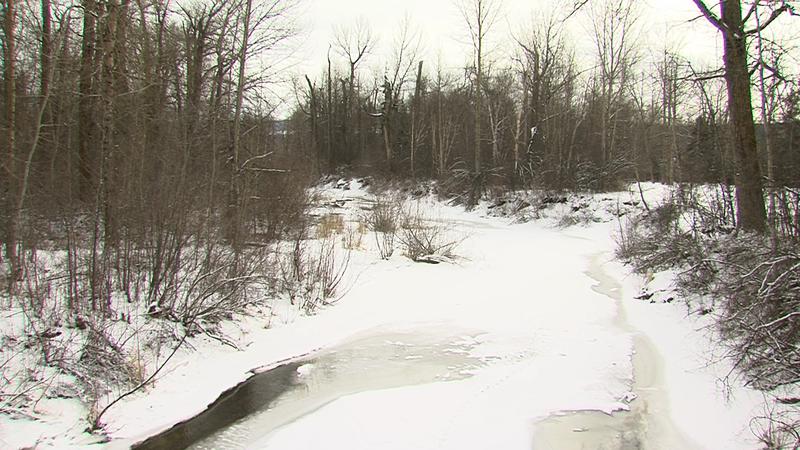
PRINCE GEORGE – The most recent snowpack numbers have been reported by the B.C. River Forecast Centre, and February first to March first saw a marginal improvement provincially, going from 72% to 73% of the normal snowpack. Locally, the Upper Fraser East region actually saw a decline from 81% to 75%, although recent snowfall after March first has experts believing that 75% number will likely be higher come April first.

“We had an atmospheric river actually influencing British Columbia this past weekend, and that brought some mountain snow. And then we had another storm yesterday, bringing a few centimeters of snowfall in and around Prince George,” said UNBC Professor of Geography, Earth, and Environmental Science Stephen Dery.

The recent March snowfall came at a good time, as the start of 2025 was incredibly dry. Up to the midway point of February there was little snow and humidity, so the recent snow and rain has been a welcome sight for the snow pack.

“I certainly was very concerned, because the first half of February was continuing that dry trend, and it was potential that we were going to be very, very low for March first. So I was happy to see at least stay fairly level,” said Jonathan Boyd, a hydrologist with the B.C. River Forecast Centre.

Looking ahead, it’s expected that there will be more snow in the near future, and even beyond the seven-day-forecast Dery believes there could be a lot more snow or rain ahead, as B.C. remains in La Niña conditions.

“That typically leads to cooler than average temperatures in our region, which is not entirely the case for the entire winter in Prince George. And typically we get wetter conditions, so there’s still the potential for a wet spring,” Dery said.

However, while the snow and potential rain ahead is certainly a big help, it will take a lot more than just that to recover from years of drought-like conditions that has seen the snowpack consistently sit below the 100% mark.

“We do need to get more snowfall to catch up to about average conditions. The snow we’ve experienced the last few days will definitely help, but it’s not going to make up for that very big deficit we still have in our mountain snow packs,” Dery said.

As for why monitoring the snowpack is important, Boyd explained it is one of the key metrics to monitor how our environment is doing, and what we can predict for the future. This could include potential drought or flood conditions in the future, among many other things.

“It can be for recreational use, or reservoir level management, water supply, and of course for general ecosystem health, whether that’s for spawning fish or just general wildlife habitat,” Boyd said.

Per Boyd, most of the Northern B.C. regions sit above the provincial average of 73% of the normal snowpack, with the full report as follows:

  • Upper Fraser East, 75%
  • Upper Fraser West, 87%
  • Liard, 98%
  • Skeena, 71%
  • Peace River, 79%
  • Stikine, 77%

Local news. Delivered. Free. Subscribe to our daily news wrap and get our top local stories delivered to your inbox every evening.