(Image Credit: File Photo)
Snowpack Conditions

Northern B.C. snowpacks off to much better start in 2026

Jan 11, 2026 | 9:00 AM

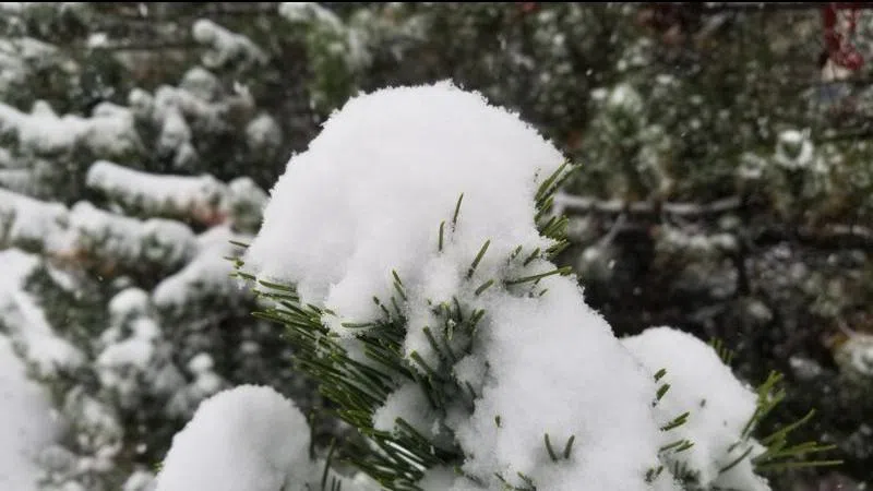
PRINCE GEORGE — The BC River Forecast Centre has issued its first snowpack bulletin of the year, and things in the Prince George area – and across much of northern B.C. – look very good to begin 2026.

According to the data, the Upper Fraser East snowpack is at 115 per cent of normal as of Jan. 1, while the Upper Fraser West snowpack is at 96 per cent of normal. It’s a sharp increase from last year, when those snowpacks were at 82 and 81 per cent of normal respectively.

Elsewhere, the Peace River snowpack is at 142 per cent of normal, up from 94 per cent of normal in 2025. The Skeena-Nass snowpack at 125 per cent and Stikine snowpack at 97 per cent are also up from 73 and 74 per cent respectively.

The Fraser River snowpack is also at 103 per cent of normal, up from 86 per cent in 2025.

The overall provincial snowpack is also slightly above normal at 107 per cent, up from last year’s reading of 87 per cent. The Central Coast snowpack is the highest in B.C. at 160 per cent of normal, while Vancouver Island is the lowest at just 58 per cent of normal.

Snow Basin Indices across B.C. as recorded on Jan. 1, 2026.
Snow Basin Indices across B.C. as recorded on Jan. 1, 2026. (Image Credit: BC River Forecast Centre)

“Snowpack development for the 2025–26 water year began with a generally solid start across British Columbia,” the BC River Forecast Centre said in its bulletin.

“Regions with normal to well above normal snowpack levels have an increased hazard for spring snowmelt related flooding, especially if effects from La Niña conditions linger into spring.”

A map of snowpacks across British Columbia as of Jan. 1, 2026.
A map of snowpacks across British Columbia as of Jan. 1, 2026. (Image Credit: BC River Forecast Centre)

The next snowpack bulletin is scheduled to be released on either Feb. 10 or 11.

You can find the Jan. 1 snowpack report here.