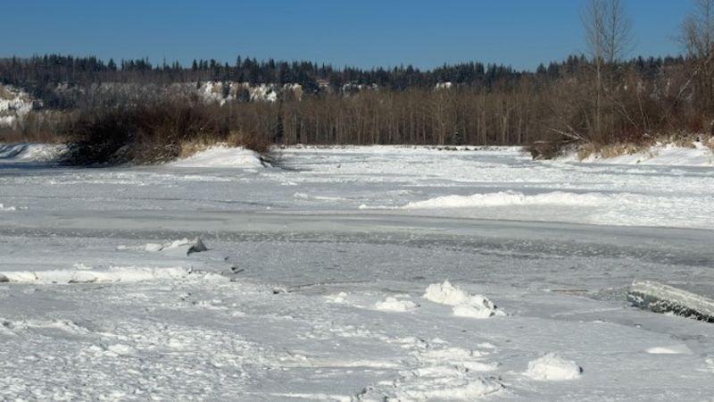
Snowpack levels just shy of normal
PRINCE GEORGE – Better than last year. Better than last fall, in fact. That’s the assessment of snowpack levels from the BC River Forecast folks as of February 1 in the two watersheds closest to Prince George.
“It was just a little bit below normal at 87 per cent. And it switched in terms of just how dry it was for January that the provincial average has now declined to 72 per cent of normal, which is considerably below normal,” explains Jonathan Boyd with the BC River Forecast Centre.
“It’s still better provincially compared to last year where it was 61 per cent of normal. For the Prince George region, specifically the Upper Fraser East, which is more of the Robson Valley side and then the Upper Fraser West, the snowpack is actually fairly healthy, especially compared to last year. The Upper Fraser East at 81 per cent of normal and Upper Fraser West at 92 per cent of normal. So significantly higher than the provincial average.”
That is considerably better than the rest of the province, which sits as 72 per cent. However, the Nechako region is problematic, with the snowpack levels at 58 per cent of normal.
