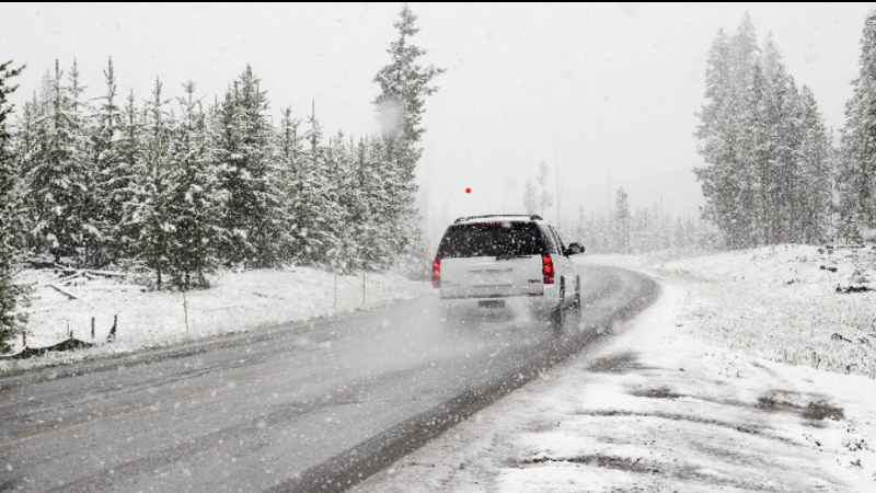
File photo - ICBC
Weather

Heavy snow expected in Prince George Monday night

Jan 15, 2024 | 5:22 AM

PRINCE GEORGE — Hot on the heels of the deep freeze people in the Interior have been feeling the past week or so is heavy snow.

Environment Canada has issued a special weather statement warning and say that Monday evening, an arctic front will begin to sweep across the province from north to south, bringing periods of snow.

“At the same time, a Pacific low pressure system will be approaching the coast from the west. As the moisture from the Pacific system interacts with the cold front from the north, periods of heavy snow are expected, and snowfall warnings may be necessary in some regions.”

Environment Canada is calling for 10 centimetres of snow Monday night into Tuesday morning with the temperature steady near minus 19 in Prince George. With the windchill, expect a low of minus 29. Another 5 to 10 centimetres of snow is expected on Tuesday.

A snowfall warning has also been issued for Pine Pass with 10-15 centimetres of the white stuff expected through Tuesday.

In addition to that, a snowfall warning has been issued for the Yellowhead Highway from Tete Jaune Cache to the Alberta border wtih 10-15 centimetres expected.

And if you’re headed south, a special weather statement has also been issued for Highway 97 Clinton to 100 Mile House via Begbie Summit with snowfall possible on that stretch of highway as well.

By Wednesday, Environment Canada is calling for sunny skies and a high of minus 17 and a low of minus 22.