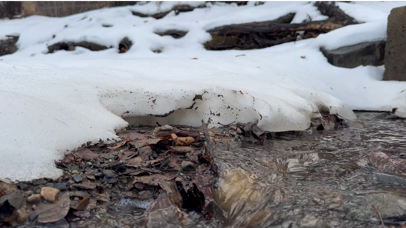
February snowpack bulletin shows lower than normal levels for several northern B.C. regions
PRINCE GEORGE — According to the latest snowpack bulletin from the BC River Forecast Centre, the Prince George area is still experiencing lower than normal snowpack levels.
Dave Campbell, head of the BC River Forecast Centre says the lingering impacts of drought are most noticeable in the northeast parts of the province.
“So the Upper Fraser West is at 69 per cent of normal. That’s set up in the area west of Prince George and the Nechako. Nechako itself is at 73 per cent of normal,” says Campbell, “And then the upper Fraser East, which is the areas that head up into McBride and the Northern Cariboo Mountains and Rocky Mountains, that’s sitting at 61 per cent of normal.”
Campbell notes there has been extra pressure on water supply issues through several northern B.C. regions.
