Photo courtesy pixabay
WEATHER

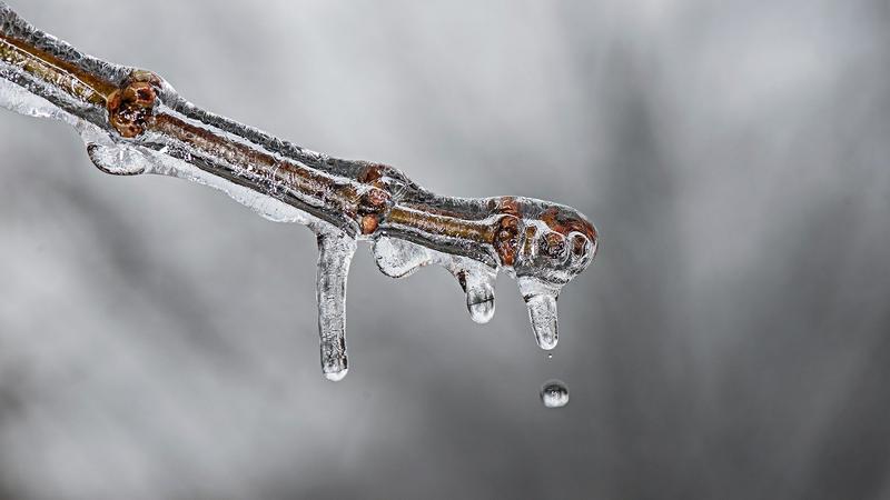
Warm weather trend expected to end by late-January

Jan 11, 2021 | 4:40 PM

PRINCE GEORGE – It may be warm, but it’s not quite record-breaking according to Environment Canada.

The most bizarre part won’t take you by surprise, the amount of prolonged warm albeit not record-breaking highs is no problem unique to Prince George.

Doug Lundquist, Meteorologist with Environment Canada says all of BC and most of Canada is seeing a similar winter that is a lot milder than normal.

“It’s the coldest time of the year right now.. usually. We are going to keep with this really warm pattern for the next week, but about eight to ten days from now there may be a switch. Not artic, and not the deep freeze of minus 40 temperatures but a lot closer to average,” says Lundquist.

Lundquist says because of La Niña he was expecting the temperatures to be normal or colder than average especially throughout the Central Interior,.

The warmest day for Prince George on January 11th, was over 10 degrees recorded in 1996, the coldest was minus 40 recorded in 1975.

According to US National Oceanic and Atmospheric Administration (NOAA), La Niña is a complex weather pattern that occurs every few years, as a result of variations in ocean temperatures off the coast of South America.

The phenomenon occurs as strong winds blow warm water at the ocean’s surface away from South America, across the Pacific Ocean towards Indonesia.

The movement of so much heat across such a large area of the planet, and in the form of temperature at the ocean surface, can have a significant effect on weather across the entire planet according to the NOAA.

BC Government data says the most recent La Niña winter prior to 2020-21 occurred in 2016.