Winter storm covers much of B.C. in snow, more expected in some regions
Feb 26, 2023 | 12:19 PM
-
Share on Facebook
-
Share on Bluesky
-
Share on X
- Copy Link
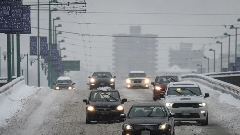
VANCOUVER — A weekend weather system has covered much of British Columbia in snow, and Environment Canada is warning more may be on the way for some areas of the province.
Parts of Vancouver Island and the Sunshine Coast received up to 40 cm of snow, Metro Vancouver and the Fraser Valley received between 10 and 25 cm, while northern B.C. and the central Interior saw around 30 cm in some areas.
Vancouver International Airport says 88 per cent of originally scheduled flights for Sunday will operate, but warns that as snow transitions to light showers, there is potential for schedule adjustments due to overnight snow.
Environment Canada says snowfall warnings are still in effect for the Fraser Valley, West Kootenay and Cariboo regions.
