Image Credit: CFJC Today
WILDFIRE
Area Restriction in effect for vicinity of Omineca Complex area near Manson Creek
Jul 2, 2023 | 2:01 PM
-
Share on Facebook
-
Share on Bluesky
-
Share on X
- Copy Link
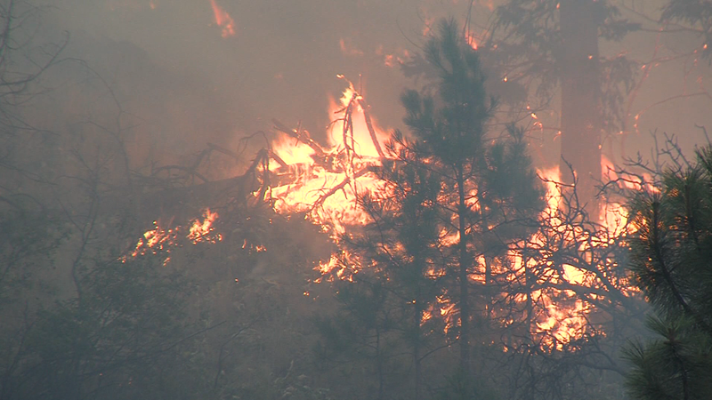
PRINCE GEORGE — The BC Wildfire service is implementing an Area Restriction Order for the vicinity of the Omineca complex area, located approximately 30 kilometers north of Manson Creek.
In a news release, the BC Wildfire say the size of the area restriction reflects the continued need to protect the public in areas where there are ongoing fire suppression activities and hazardous fire behaviour conditions.
This order takes effect on Sunday, July 2, 2023 at 12:00 p.m. (PDT) and remains in force until September 30, 2023 or until the order is rescinded. This order applied to crown land within the geographic boundaries described below:
- Starting at the the 16-point compass rose directions, the boundary commences at Mount Henri at coordinate A (56° 30.469’N, -124° 43.503’W); then heading south-southeast to Mesilinka River and Omineca Arm at coordinate B (56° 07.865’N, -124° 28.026’W); then heading south-southeast to Fries Peak coordinate C (55° 49.483’N, -124° 20.267’W); then heading southwest to the north end of Wolverine Lakes at coordinate D (55° 43.306’N, -124° 29.775’W); then heading southwest to South Germansen River at a point 5 km due south of Germansen Lake Road at coordinate E (55° 37.592’N, -124° 42.415’W); then heading west to Germansen Mountain at coordinate F (55° 37.592’N, -124° 51.968’W); then heading west-northwest to the east end of Kelly Lake at coordinate G (55° 45.443’N, -125° 41.110’W); then heading north-northeast to the south end of Tenekihi Lakes at coordinate H (56° 10.331’N, -125° 29.111’W); then heading north-northeast to Blackpine Lake at coordinate I (56° 19.984’N, -125° 20.433’W); then heading northeast to starting coordinate A (56° 30.469’N, -124° 43.503’W).
